Joseph dehnert
A HAND-HELD, STRUCTURE from MOTION, PHOTOGRAMMETRIC APPROACH TO RIPARIAN AND STREAM ASSESSMENT AND MONITORING OF THE UPPER CLARK FORK RIVER, MONTANA
Advances in high-resolution image-matching techniques and machine learning algorithms have been used to create cost-effective, moderately scaled approaches to terrain mapping in riverine landscapes around the world. Finding a way to apply these advanced remote sensing techniques in dynamic riverine environments with variable vegetative cover and lighting could further standardize the way that stream attributes are measured and quantified.
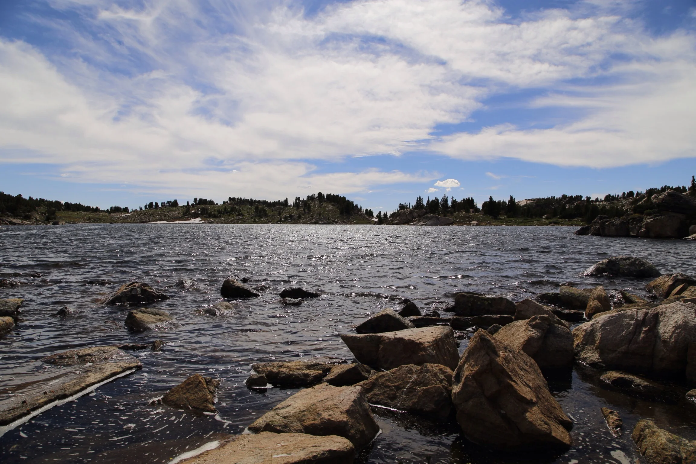
Joe Dehnert, a graduate student at the University of Montana, is researching close-range photogrammetric surveying techniques in the Upper Clark Fork River Basin near Dry Cottonwood Creek. He is using hand-held cameras along heavily vegetated streams to determine what features and characteristics can be derived from 3D models created in photogrammetry software programs. His research will provide information to stream restoration specialists and researchers on the efficacy of using close-range photogrammetric surveys to acquire valuable data along small streams in the western United States.