JONATHON BYERS
MEASURING ALPINE SNOWPACK IN THE BITTERROOT MOUNTAINS USING UNMANNED AIRCRAFT SYSTEMS (UAS)
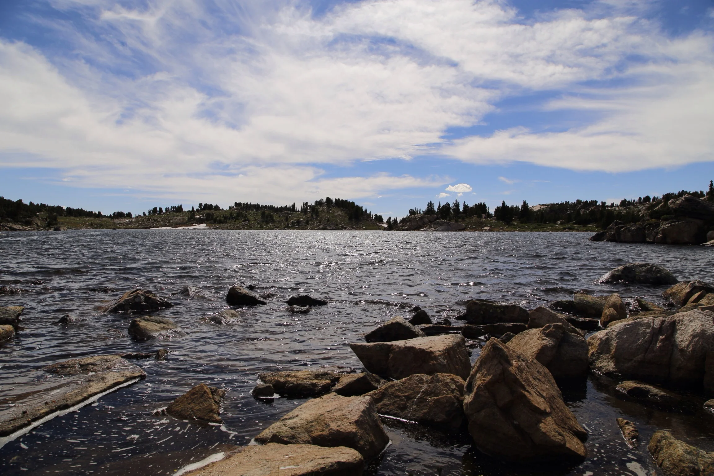
The ability to accurately map and measure snow cover in alpine areas is critical in understanding and adapting to changes in precipitation patterns that supply water for 20% of Earth's population and support vital aquatic ecoystems. Current measurements of snowpack that inform runoff models and water management do not accurately represent high elevation and complex terrain areas. This project seeks to apply recent advances in remote sensing using Unmanned Aircraft Systems (UAS) to increase the spatial density of high elevation snowpack measurements, with applications for basin scale water modeling improvement.

Jonathon Byers is a Masters student in Geography at the University of Montana. In collaboration with the Autonomous Aerial Systems Office and the Fire Center, he is developing a custom fixed-wing UAS and will be using it to measure snowpack in the Bitterroot Mountains of Montana.